Read the full story with maps here: https://m.newsmeter.in/
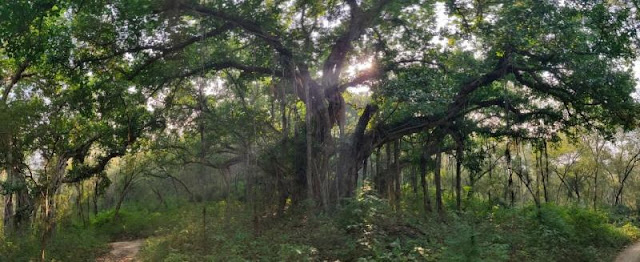
As many as 48 banyans that are close to a hundred years old have suffered irreparable damage due to deliberate or accidental burning over the last few years. This and many other equally startling facts were revealed and recorded during the course of a data gathering exercise by the NIH. Trees planted during the Nizam’s government dot a 46 km stretch of the Chevella-Vikarabad Road.
Twenty volunteers worked for over 4 days spread across a month to meticulously record the latitude and longitude of the trees and other observational data, including measurements of girth and prop root length. They also photographed each of the 914 endangered banyans.
The database will be publicly accessible and will mark the beginning of similar exercises for other ecological resources in the more than 7000 square km region of Hyderabad Metropolitan Development Authority. These can be used by citizen scientists, policymakers, implementation authorities, planners, and other scientific institutions/agencies.
“It was humanely difficult to geotag the trees. But it was very important too. Once we began the geotagging exercise, we walked and numbered,” said Natasha Ramarathnam, a development professional, who led the geotagging exercise.
In addition, the NIH group also took a different approach to mapping trees based on their trunk size. “We hugged the trees, literally. If one could hug the trees completely then we said that the trunk was small or medium-sized and if one couldn’t then the trunk was big,” Natasha said.
In addition to being numbered, some Chevalla Banyans have also been named. Various names have been given to trees starting from ‘Choti, Badi’ to movie-inspired names like ‘Frodo’ and ‘Octopussy’.
Background:
Over 3.5 years ago, a Change.Org petition launched by the group, with over 62,000 signatories, called on the state government to protect the trees in situ, as habitat and heritage, by rethinking the planned highway along this route.
The group’s suggested solution in the event an alternative route could not be found was to use a road-widening method known as ‘eccentric widening’ (designing the road on either side of the trees) to keep this stretch.

Comments
Post a Comment